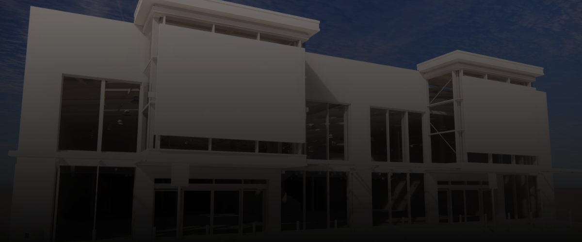
Measured Building Surveys
“…RDS has established Survey teams able to provide a complete multi-disciplined service to accurately capture the details of any existing facility or building…”
All of our survey activities are fully controlled within our Quality Management System with regular quality audits and equipment calibration to ensure the quality of the final deliverable in every case.
At RDS we provide a wide range of survey services;
Laser Scanning
Topographical
Conservation / Heritage Surveys
Facade / Elevation Building Survey Services
Setting Out
Measured Building Survey
As-Built Surveys
Measured Building Surveys are highly accurate as built surveys carried out before, during and/or after construction projects. This type of survey is used for verification and record purposes, area calculation, and to identify any variations from original plans. RDS measures floor plans, sections, elevations and shopfront facades.
Our Topographical survey teams record the condition of buildings for clients, conservation or historical records. We capture the detail of the surfaces & topography for engineering works and record the condition of projects at different stages, this creates an accurate record of a building for quality control and certification purposes. Our surveys can establish floor, ceiling and window levels as well as producing plans, sections and elevations.
Although Laser Scanning is thought of as new technology it isn’t at RDS, we invested in the technology years ago to help our clients, below are some of the benefits the scanner offers;
Remotely capture data from potentially hazardous sites or structurally unsafe buildings
Fast data capture; critical on sites with limited access eg, working sites
Complete point cloud & data collection enables further investigations to be carried out later on without costly returns to the site and travel
Reduces the costs and downtime associated with construction & mechanical co-ordination rework and site revisits
Improved accuracy and precision reduces the risks associated with co-ordination & clash detection
Highly-detailed data improves decision-making
Enables an easier transition into 3D Modelling and Building Information Modelling (BIM)
As-built surveys are normally carried out after a project completes to show the actual condition of the completed site. They are requested by many clients to show improvements to the property at a particular point of time. They can also be carried out on existing sites to merge the design and minimise delays during construction & co-ordination. An as-built survey reduces the costs and downtime associated with construction rework, site revisits and design decision making.
Contact us for more info...

